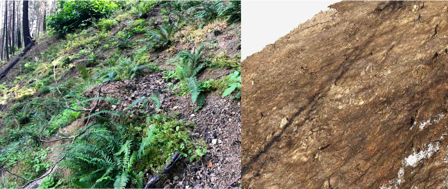
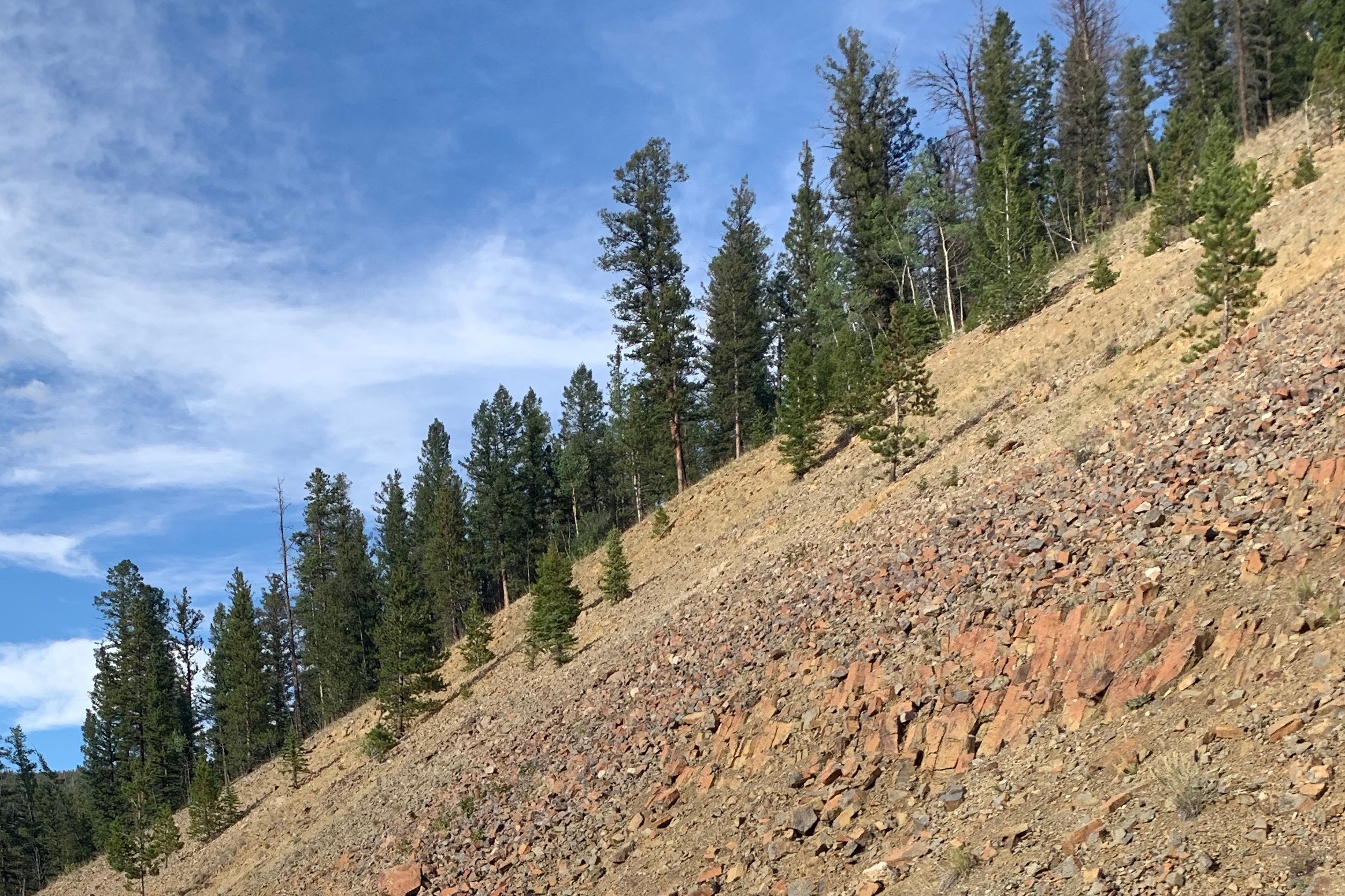
Zooming in on landscape heterogeneity and surface roughness
Vegetation, lithology, soils, land management, and many other parameters on Earth’s surface can be highly variable both across landscapes and over time. While we often ignore these variations to assess the average effects of large-scale climate and tectonic forces, they can play a lead role in modifying how these forces impact erosion and landscape morphology over smaller, regional scales. Many of these parameters create distinctive topography and surface roughness that can influence erosional processes and may also be identifiable in high resolution digital elevation data. How do these regional parameters couple with geomorphic processes? And how can we use the increasing quality and quantity of modern data to more accurately and precisely predict how systems will respond to disturbances like climate change, wildfire and human impacts?
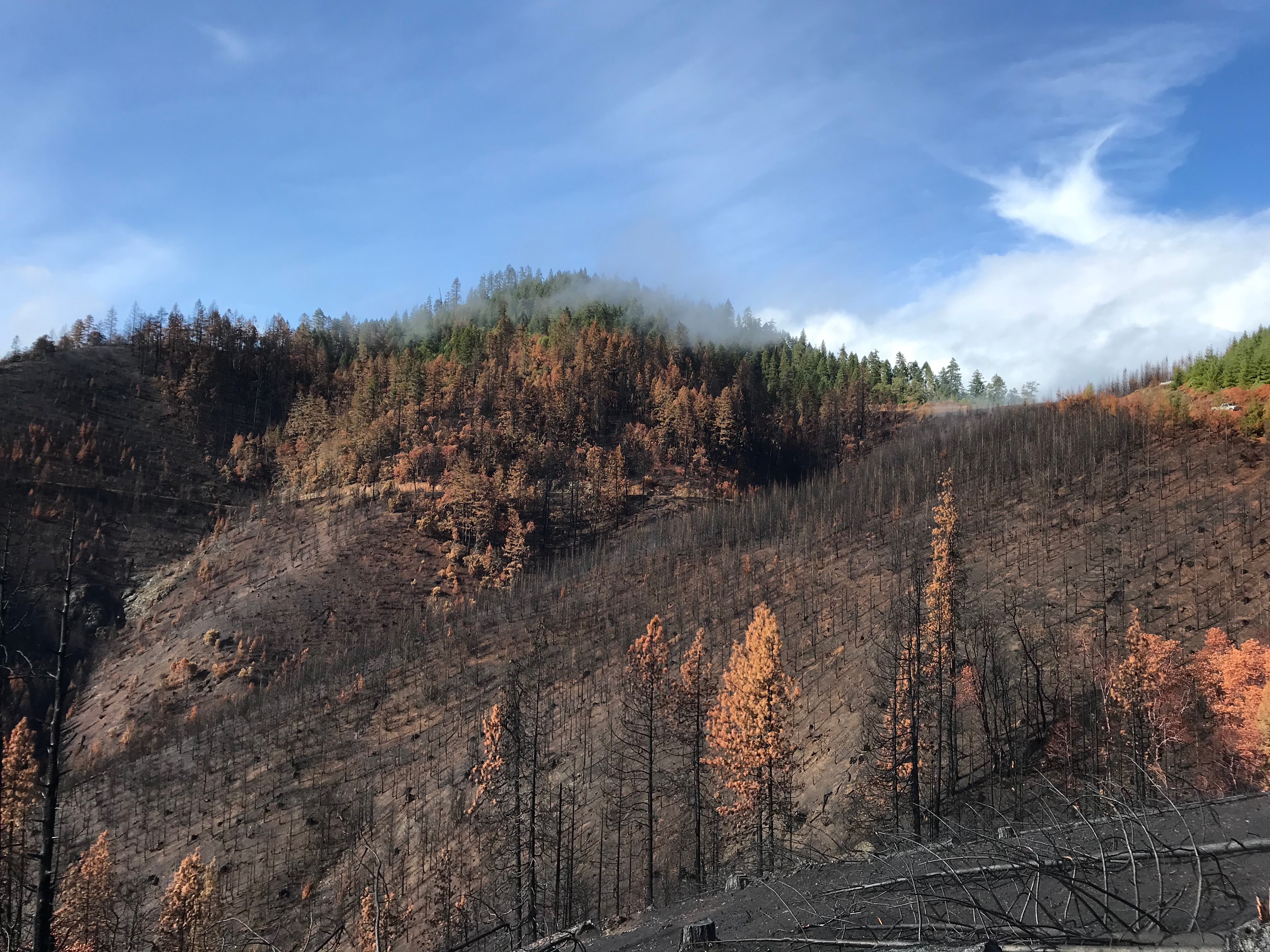
Post-wildfire erosion and hazards in an evolving climate
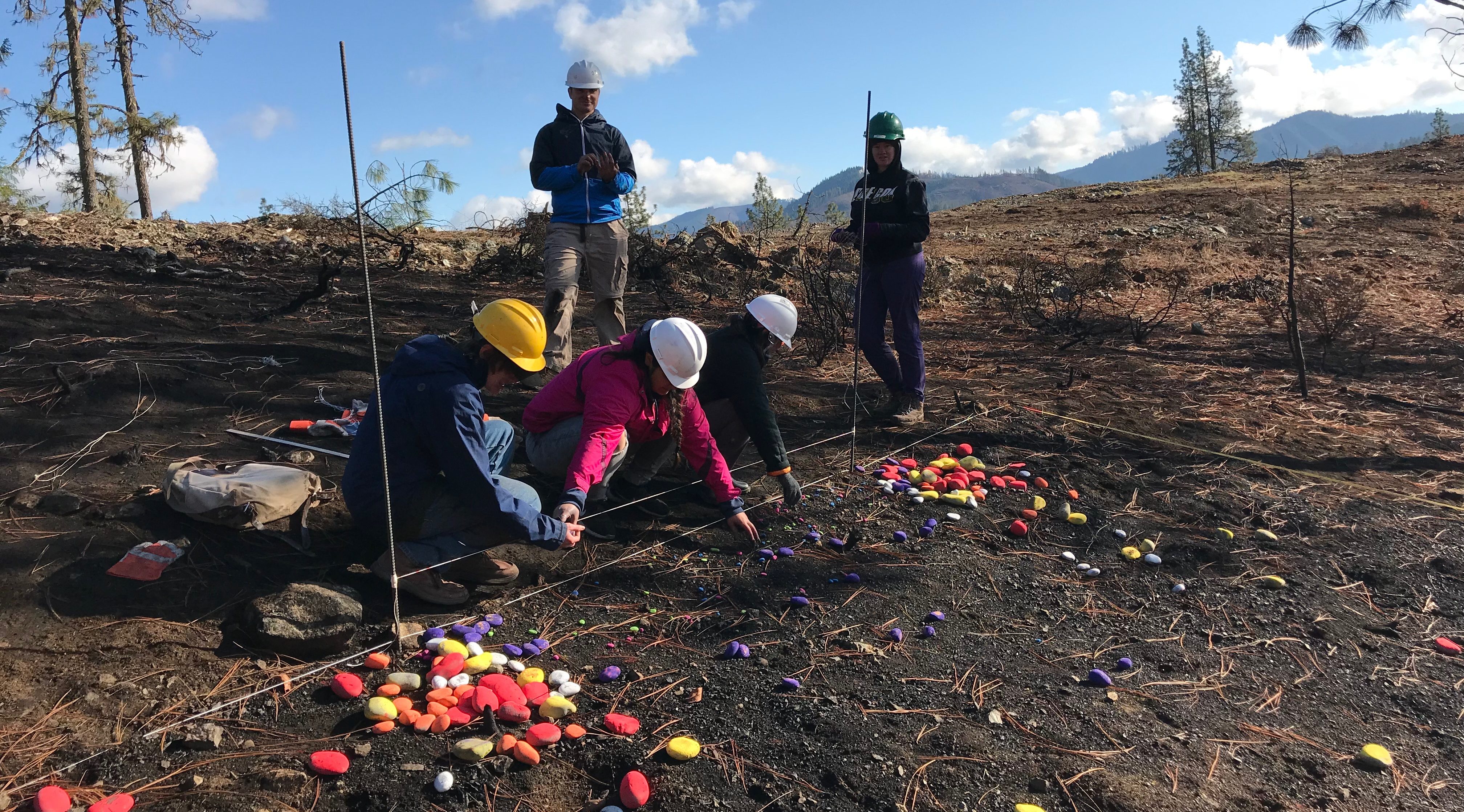
The Earth is on fire! Wildfire frequency in the Western US has increased drastically in the last decade due to climate change. Forecasted changes in climate indicate that wildfire occurrence and post-wildfire hazards such as debris flows and storm-driven landslides will continue to grow in the coming years due to prolonged drought conditions and intensifying winter storms on the west coast. We are currently investigating a range of topics related to post-wildfire hazards and erosion, including how land use affects post-fire erosional processes, the effects of varying regional climates on post-fire soil hydrology and debris flow initiation, and how long distance sediment transport is affected by changes in surface roughness due to the incineration of vegetation and ground cover.
nonlocal sediment transport in steeplands
Most commonly used sediment transport models are unable to account for long-distance particle motion over variable topography. In steeplands, however, particles commonly travel long distances over uneven terrain with thin soil and patchy bedrock exposure. As much of the active transport on Earth—especially high-magnitude events and hazards like landslides and debris flows—occurs in steeplands, this crucial gap in our capacity to predict sediment transport and landscape dynamics currently hampers progress on a wide range of geomorphology, land management, hazard mitigation, and other Critical Zone topics. Recently developed “nonlocal” sediment transport theories promise to span this gap using probabilistic and particle-based descriptions of particle motion.
Deciphering the seismic signals of earth surface processes
Many active Earth surface processes, such as landslides or sediment transport in flooding rivers can be challenging, costly and potentially dangerous to monitor. But rivers, landslides and even gophers moving soil on hills (“bioturbation”) all transfer energy to the ground in the form of elastic or seismic waves. Traditionally considered “noise” by earthquake seismologists, these seismic signals contain valuable information about the processes that generated them and the ground through which they travel. By decoding these signals–translating the “language” of seismometers, geophones and other geophysical tools–we can use this information to characterize and study these processes.

Methods and techniques
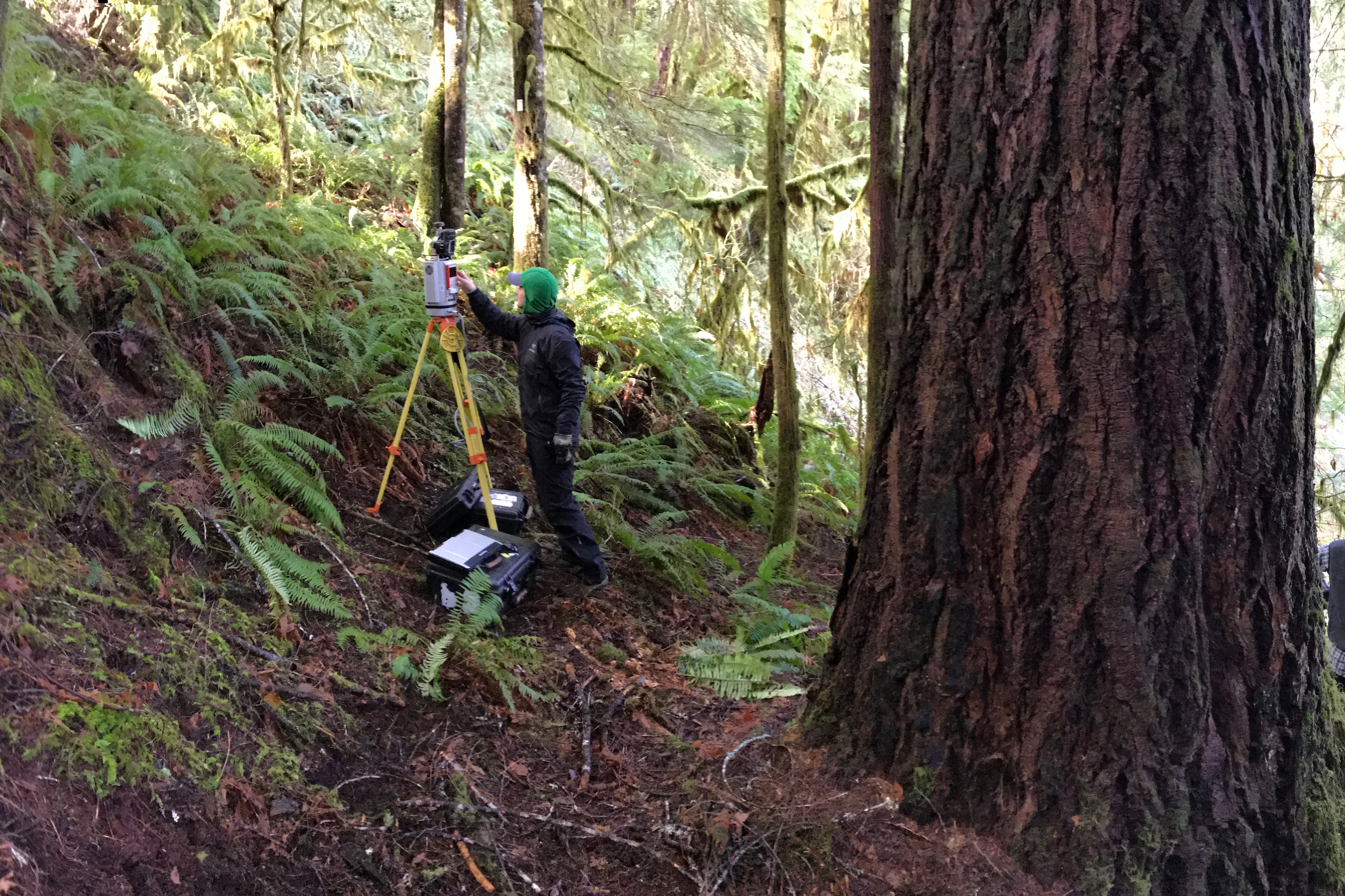
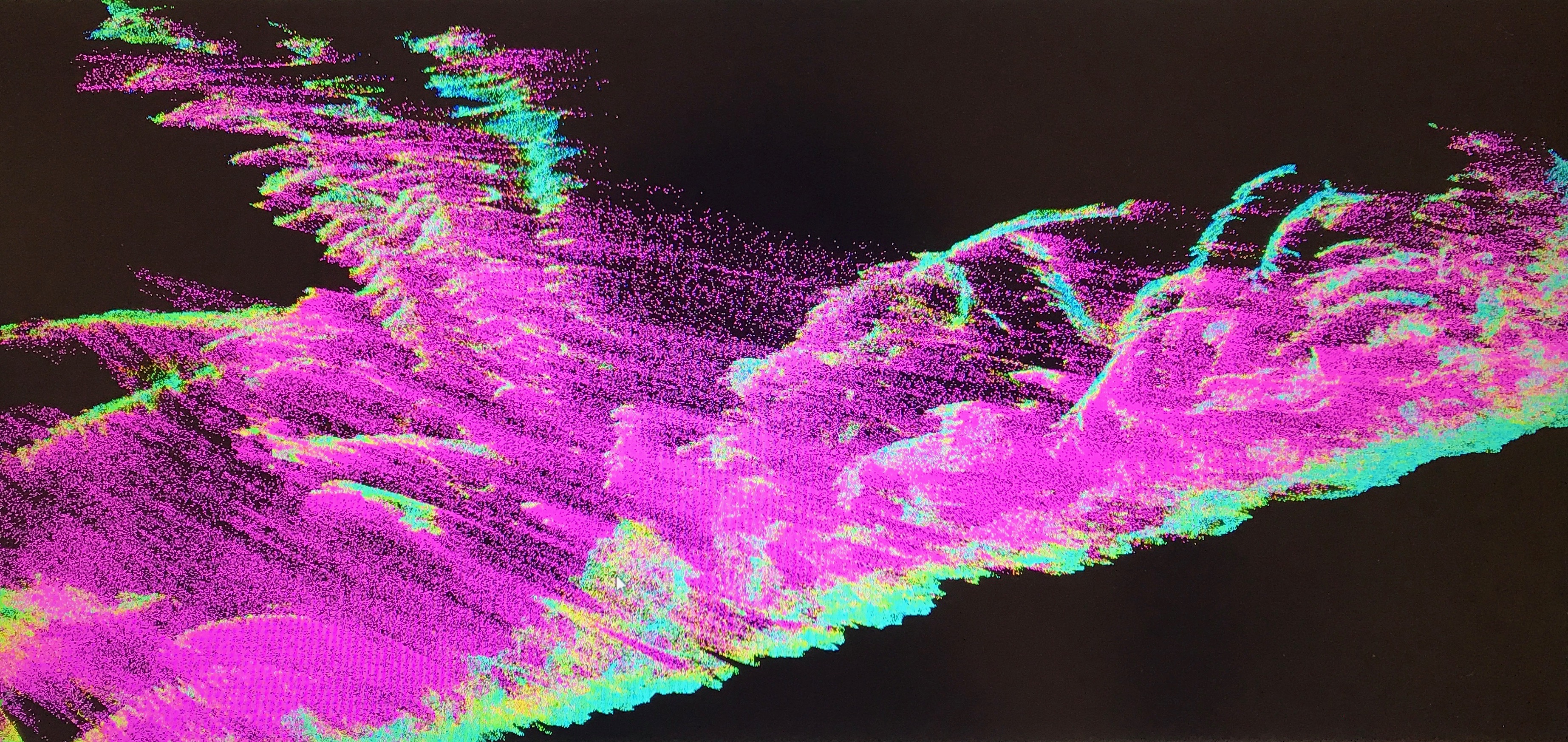
Our research integrates field observations, experiments, high resolution terrain analysis and data-driven analytical and geophysical techniques with quantitative theory development.
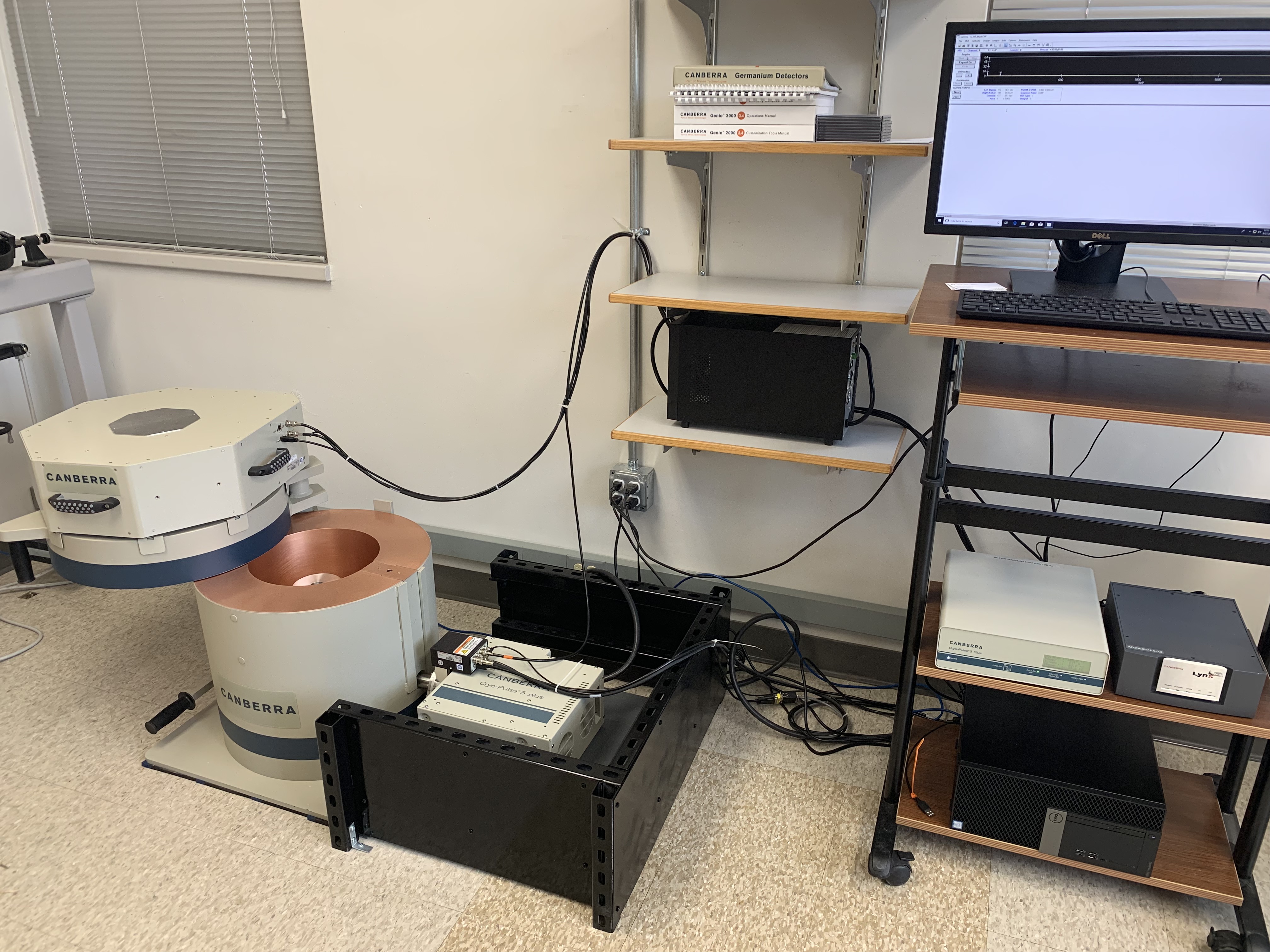
New directions include numerical modeling, distributed acoustic sensing (DAS) and the use of short-lived radionuclides such as 7Be and 137Cs to monitor modern sediment disturbance rates.